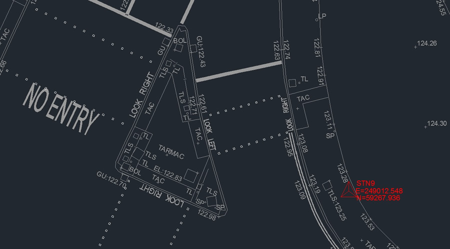
We are able to carry out Topographical Land Surveys to provide Architects, Designers, Consultants and Planners with an accurate representation of the area of interest showing all natural and man made features.
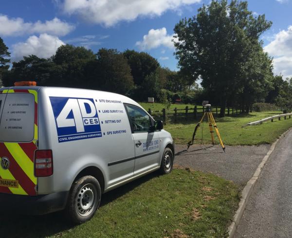
Our experienced Surveyors, using the latest surveying equipment are able to capture field data, safely and reliably, providing survey plans to a high standard.
Land Surveys can be carried out to existing, local grid systems and datums or to Ordnance Survey ‘National Grid’ coordinates.
The finished survey can be presented either as a hard copy or in a variety of electronic formats.