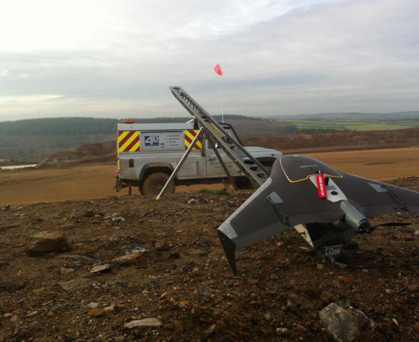
Utilising this technology since 2013 has revolutionised the way we view our Survey data.
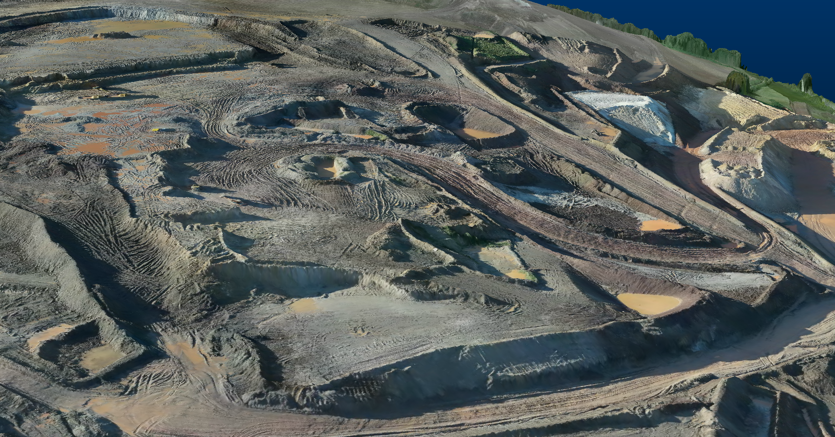
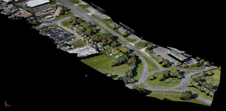
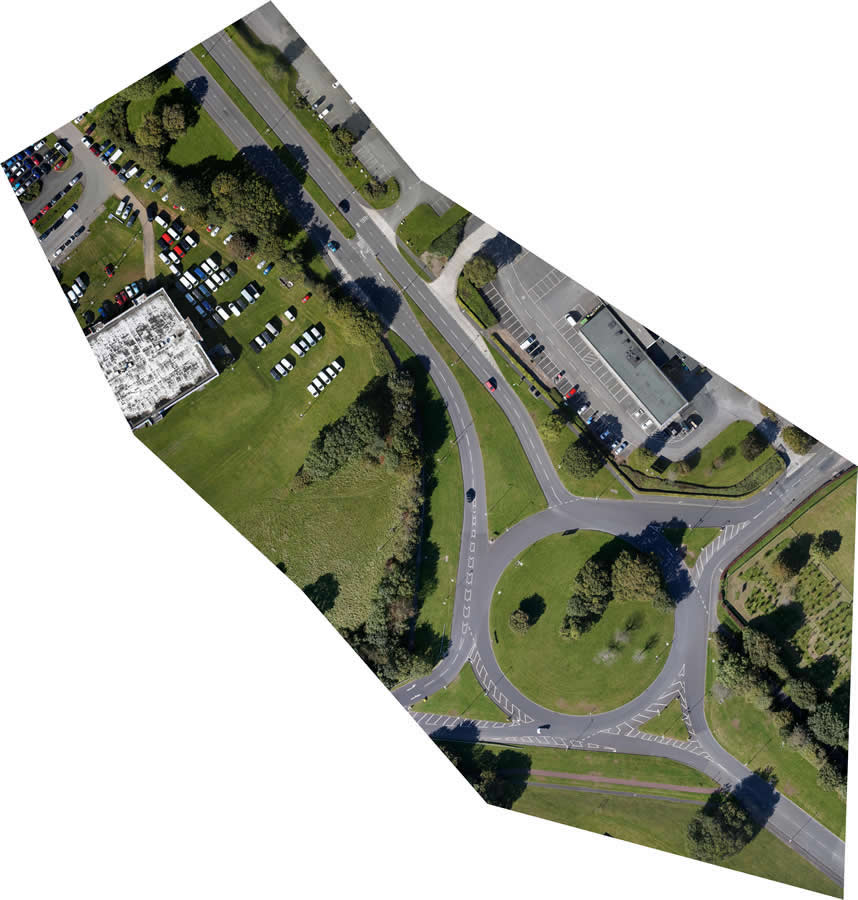
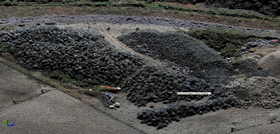
Highly detailed, georeferenced Orthomosaic Imagery and the production of dense grid surface models allow us to survey areas with unrivalled Speed, Safety and Accuracy.
The ability to Survey upto 250 ha in a single day with no interruption to ground based operations offers a unique Surveying Solution.
This solution is providing a reduction in time,cost and complexity of the survey operation whilst increasing Safety, accuracy and data interpretability.
Data Output formats (Orthomosaic Imagery / Surface Model / Point Cloud) can be tailored for the end user, we are able to provide outputs compatible with all leading Land Survey and CAD packages.
4D CES Ltd are Civil Aviation Approved and insured with Permission for Aerial Work certification.